Trusted by Governments, Military & Enterprises Across Nigeria
'%20id='use14'%20/%3e%3cg%20id='g22'%3e%3cpath%20d='m%2061.061,4.759%20c%200,-2.587%20-2.113,-4.685%20-4.703,-4.685%20-2.589,0%20-4.702,2.098%20-4.702,4.685%20v%2049.84%20c%200,2.602%202.113,4.699%204.702,4.699%202.59,0%204.703,-2.097%204.703,-4.699%20z%20M%2035.232,22.451%20c%200,-2.586%20-2.112,-4.687%20-4.702,-4.687%20-2.59,0%20-4.702,2.101%20-4.702,4.687%20v%2022.785%20c%200,2.601%202.112,4.699%204.702,4.699%202.59,0%204.702,-2.098%204.702,-4.699%20z%20M%209.404,35.383%20C%209.404,32.796%207.292,30.699%204.702,30.699%202.115,30.699%200,32.796%200,35.383%20v%209.853%20c%200,2.601%202.115,4.699%204.702,4.699%202.59,0%204.702,-2.098%204.702,-4.699'%20id='path16'%20/%3e%3cuse%20xlink:href='%23path16'%20transform='matrix(-1,0,0,1,112.717,0)'%20id='use18'%20/%3e%3c/g%3e%3cuse%20xlink:href='%23g22'%20transform='matrix(-1,0,0,1,216,0)'%20id='use20'%20/%3e%3c/svg%3e)


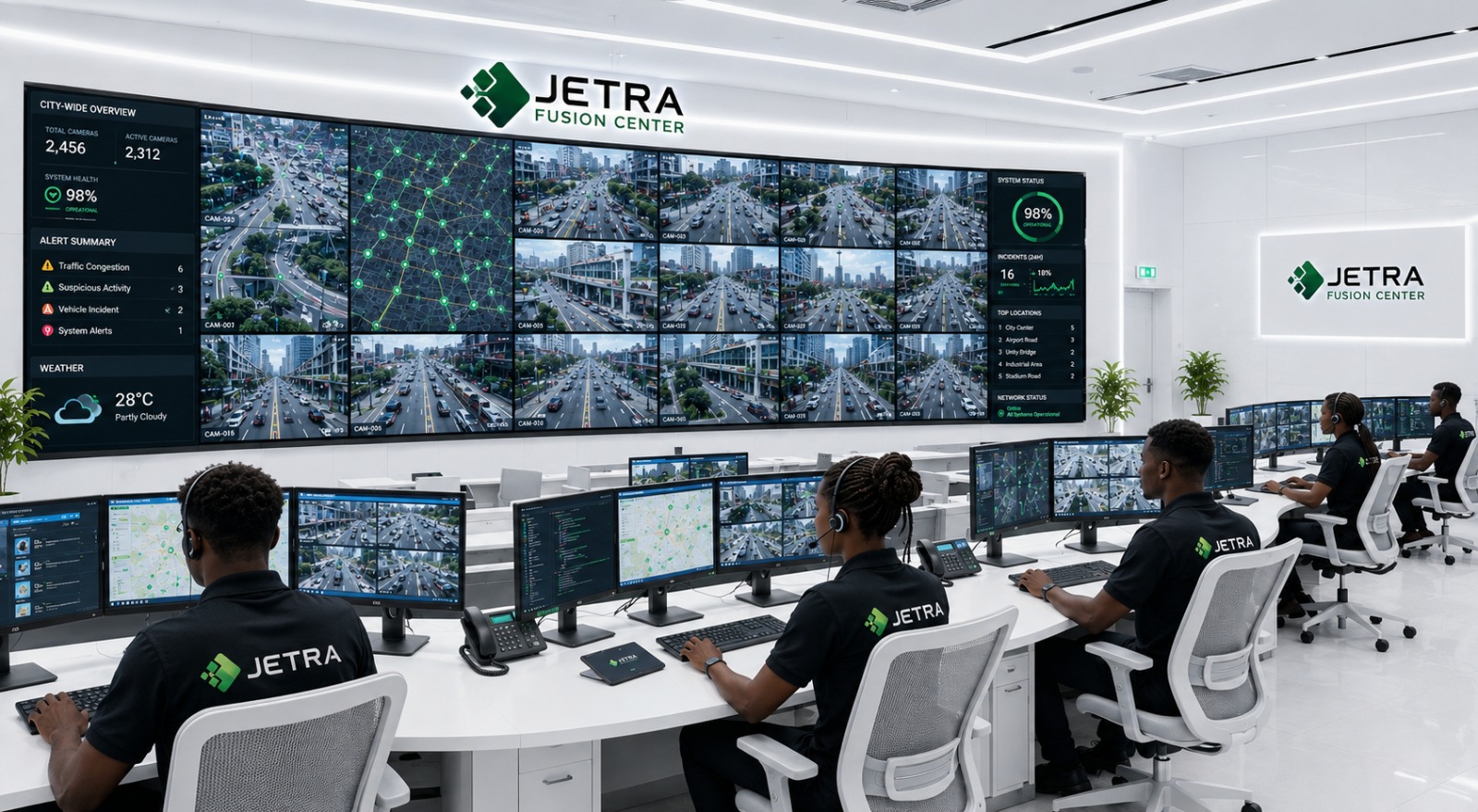
Mission-Critical Fusion Centers
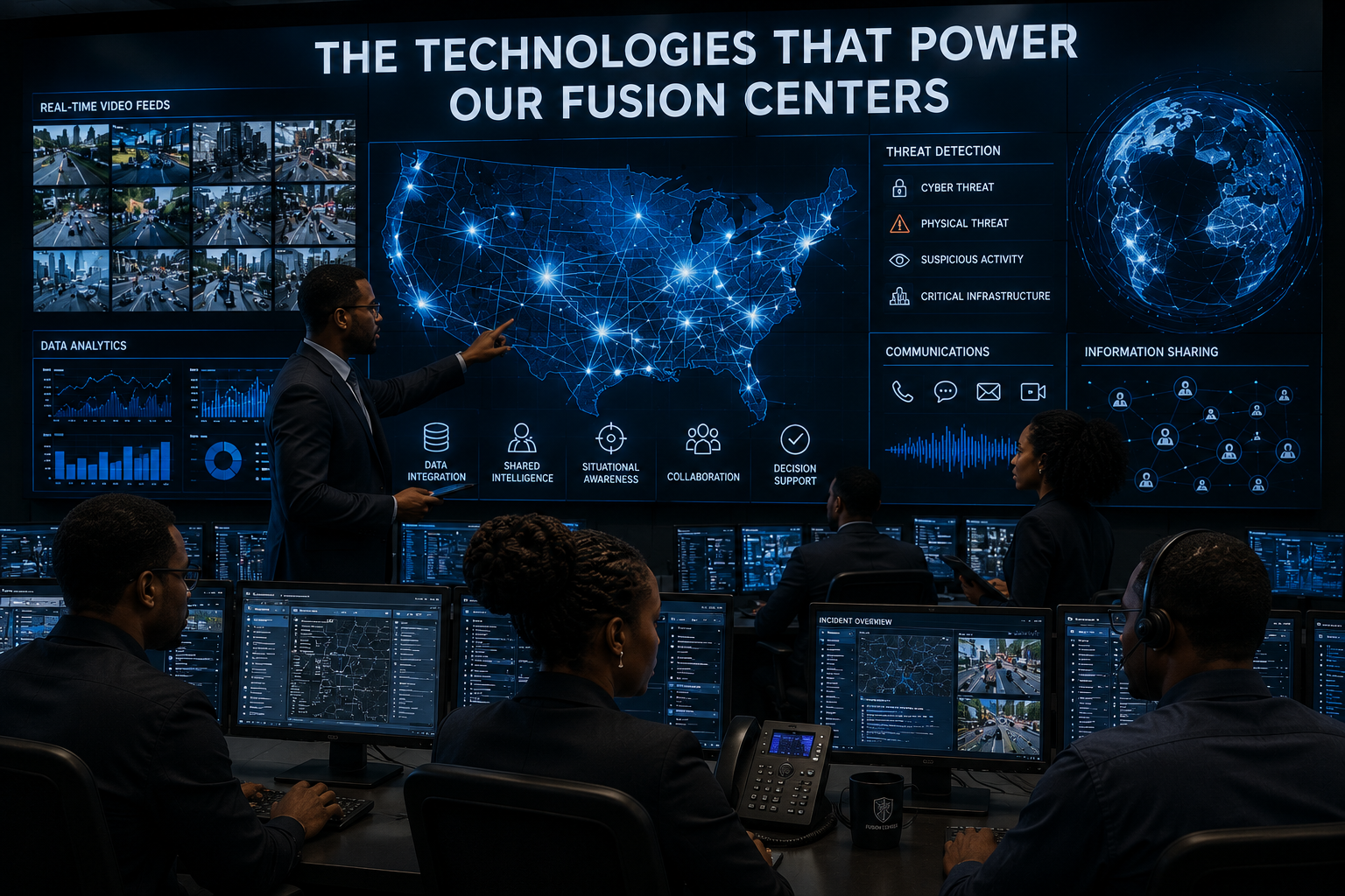
Empowering safer and smarter communities through the integration of Video Walls, GIS Intelligence, CCTV Networks, Drone Surveillance, AI Analytics, Incident Management, and Emergency Dispatch in one centralized Fusion Center.
Built for Every High-Stakes Environment
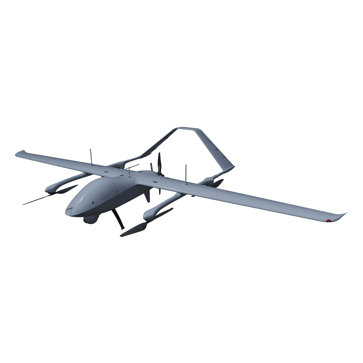
- ISR Operations
- Tactical Communications
- Border Surveillance
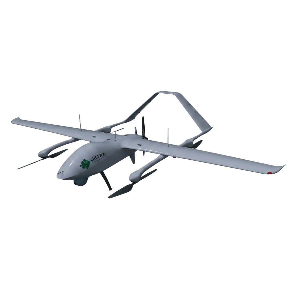
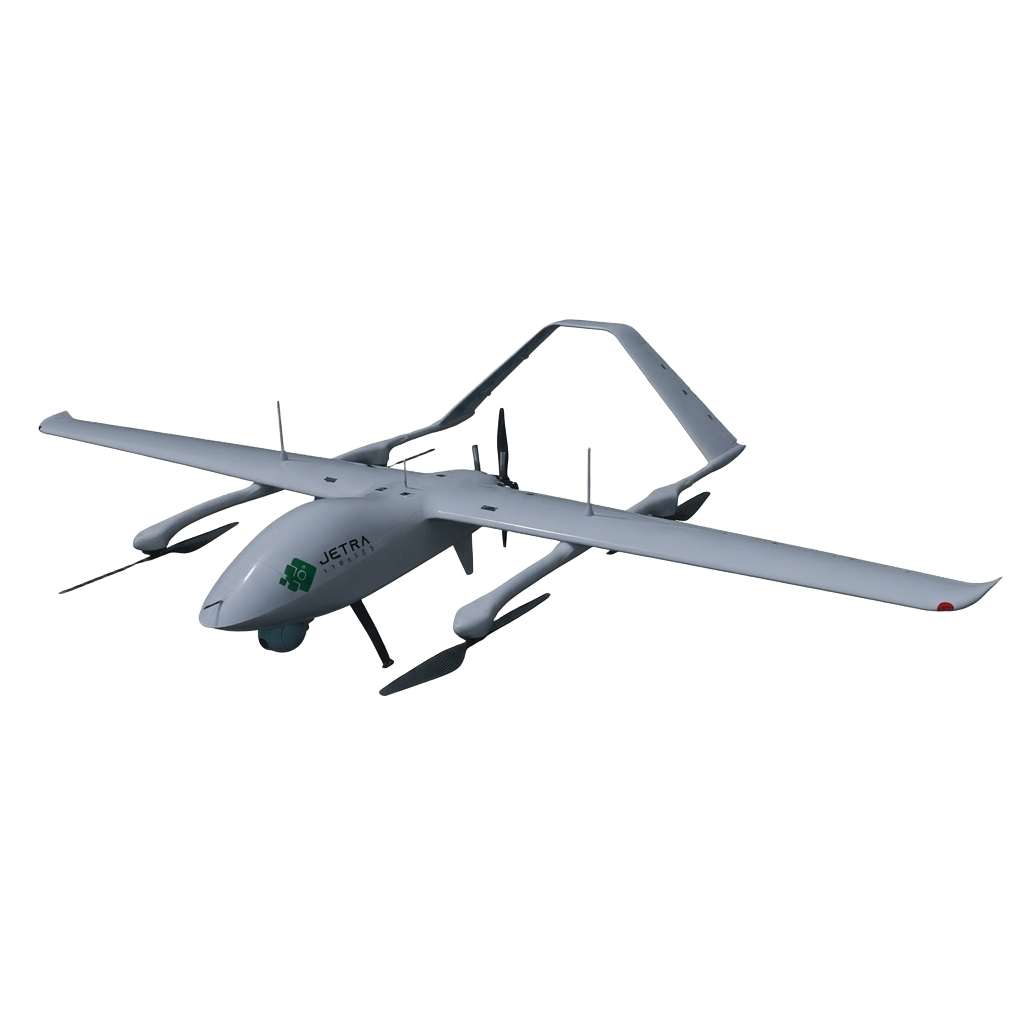
- UAV Integration
- Mobile Command Centers
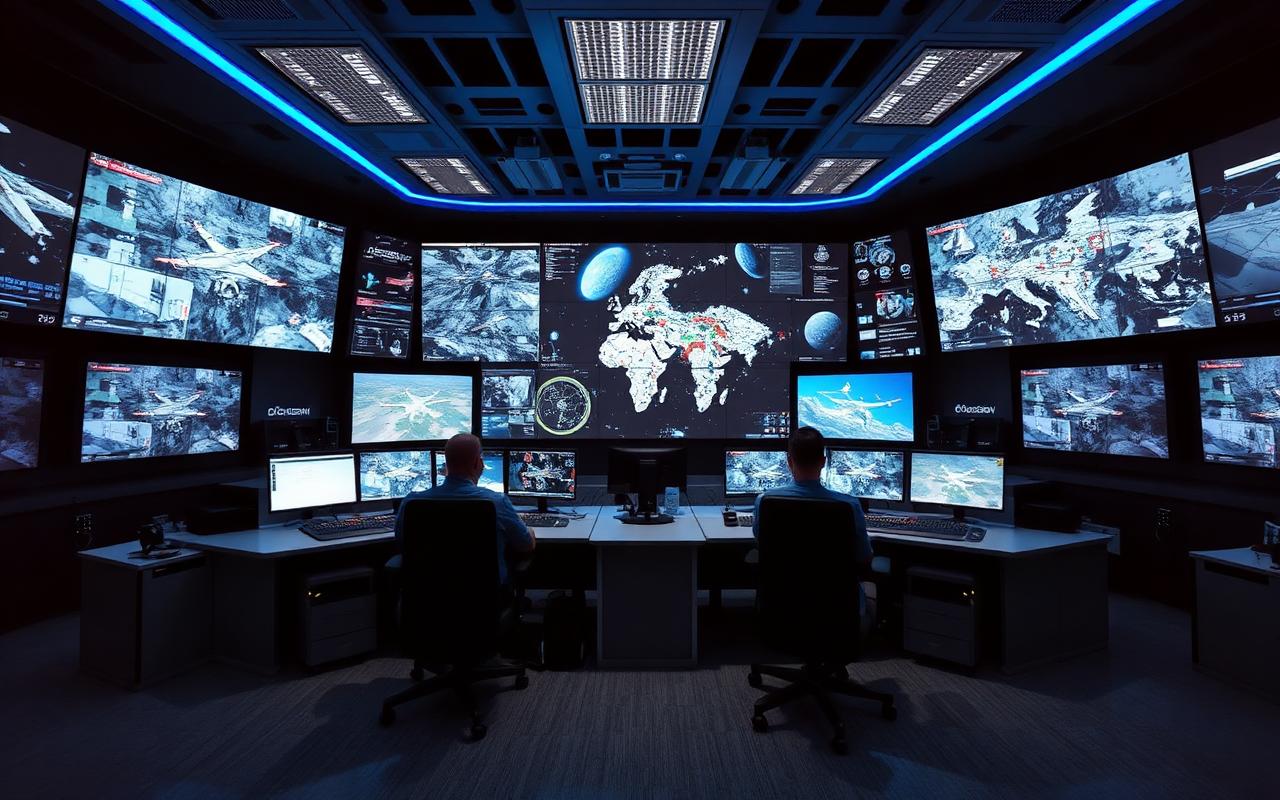
- Schools
- Farm Land & Livestock Routes
- Highways
- Railways
- Urban Areas
- Rural Areas

- Traffic Monitoring
- Aerial Mapping
- Environmental Monitoring
- Utility Inspection
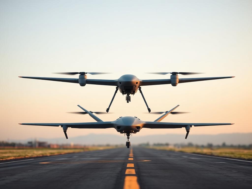
- Oil & Gas pipeline
- Telecom Tower
- Seaports
- Dams
Mission-Critical Projects, Delivered
A selection of some of the strategic deployments JETRA has delivered for defence, government, education and critical infrastructure organizations across Nigeria.
ISR Integration for Nigerian Air Force STRATOC – Wing Loong II Platform
JETRA successfully designed and deployed the integration infrastructure that enabled live Wing Loong II Unmanned Aerial Vehicle (UAV) intelligence, surveillance, and reconnaissance…
Read More →TB2 Drone Feed Integration for the National Counter Terrorism Centre (NCTC)
JETRA designed and implemented the infrastructure required to integrate Bayraktar TB2 surveillance feeds into the National Counter Terrorism Centre (NCTC) Command and Control Cente…
Read More →Du Village Smart Surveillance & Security Monitoring Project
JETRA is currently deploying a village-wide surveillance and security monitoring system designed to provide 24-hour visibility across all major entry and exit routes into Du Commun…
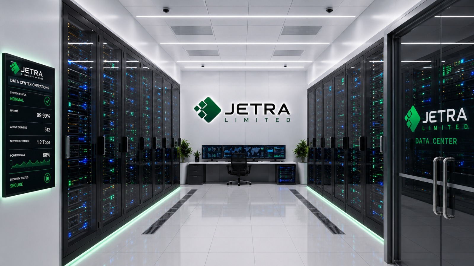
Read More →Data Center & Network Infrastructure
End-to-end data center, networking and cloud infrastructure engineered for mission-critical uptime, scalability and security across enterprise and government environments.
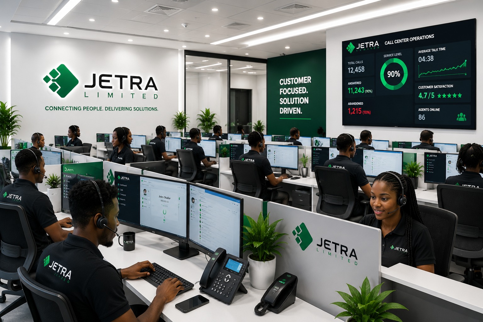
Enterprise VoIP & Call Center
Scalable VoIP, unified communications and call center solutions that keep agencies, enterprises and response teams connected anywhere, anytime.
Enterprise & City-Wide Surveillance
AI-powered video surveillance and analytics for cities, campuses, estates and critical infrastructure with real-time threat detection and centralized monitoring.
JIFGAC
JIFGAC is JETRA's forthcoming initiative — an advanced intelligence platform and fully integrated geo-analytics and fusion environment that brings together satellite imagery, GIS mapping, live drone feeds, and AI-powered analytics within a single command interface. Designed to enhance national security, public safety, and critical infrastructure protection, JIFGAC will provide decision-makers with real-time situational awareness and actionable intelligence through a unified operational platform.
JIFGAC fuses satellite GEOINT, drone ISR, CCTV networks, AI analytics and GIS mapping into a single command environment — enabling early warning, multi-agency coordination and decision support for governments and enterprises across the continent.
Explore the full JIFGAC page →JetraEWS
JetraEWS is JETRA's dedicated early warning platform — delivering real-time alerting, incident reporting and community-level threat signals that feed directly into our fusion and command environments for faster, better-informed response.
Explore JetraEWS →The Technologies That Power Our Fusion Centers
Every technology we deploy serves one purpose: enabling superior situational awareness and command capability.
Our Technical Expertise
Leverage the deep, certified skills our engineers and project managers have cultivated over 25+ years.
Deep. Certified. Battle-Tested.